511Now
A mountain-travel dashboard for Washington, Oregon and Idaho — wildfires, smoke, weather, traffic and 2,700+ official cameras in one place. Went from problem to live product in under 24 hours.
- Project
- 511Now
- Role
- Founder, Designer & Developer
- Timeline
- 2026
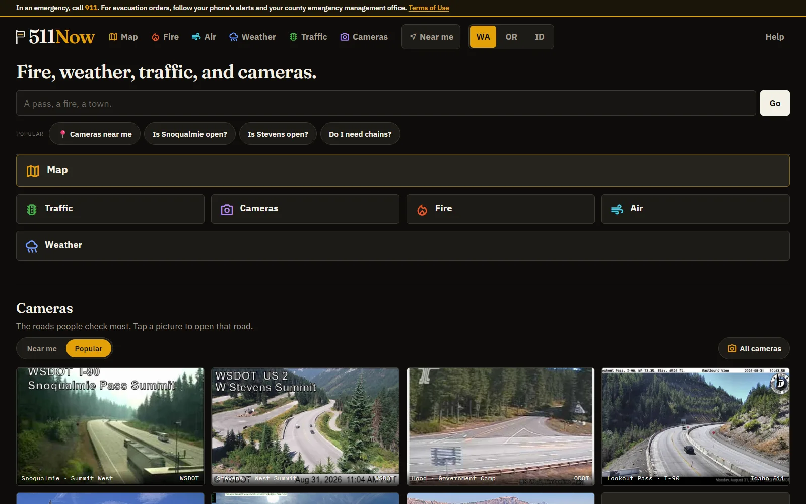
Four open tabs, the night before a hike
The night before a mountain hike I had four tabs open: wildfire smoke on one site, the forecast on another, highway traffic on a third, pass cameras on a fourth. All the information existed and all of it was official. It just lived in four places.
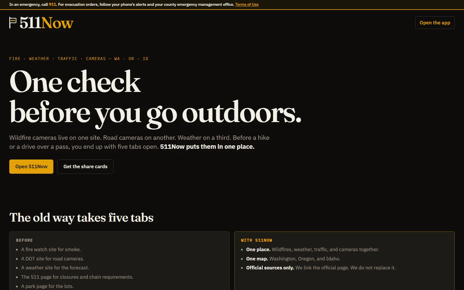
That’s a findability problem. It also looked like the kind of gap AI-assisted development should be able to close quickly, so that night I researched the idea, bought 511now.com, and started building with Grok and several other AI tools. The site was live the next day.
One place for the go/no-go questions
511Now covers Washington, Oregon and Idaho:
- Wildfire perimeters from NIFC, with acreage and containment, nearest first
- Air quality and smoke — official AQI readings ranked worst-first, with visibility cross-checked against NWS reports
- Weather and NWS alerts for passes and towns
- Traffic incidents and closures from the state DOTs
- 2,700+ official camera feeds from WSDOT, ODOT, Idaho 511 and the National Park Service, browsable by road, by region, or by what’s near you
- A unified map layering fires, traffic, alerts and cameras, showing each camera’s distance from the nearest wildfire perimeter and any weather alert covering it
The build is deliberately plain: static pages, vanilla JavaScript and Leaflet reading official public feeds. A site people check on a phone at a trailhead needs to be fast above everything else.
Trust comes from the sourcing
The rules went in on day one, because an aggregator is only as good as its relationship to the original sources.
- Official sources only, credited. Camera stills are hotlinked from published agency URLs, and a sources page names every agency and what it owns.
- The official page is the authority. Every answer page names the relevant DOT page first, then shows you the road.
- LIVE means live. The label appears on cameras with a real video stream.
- Fresh data or none. Feeds are checked so what’s on screen reflects current conditions.
The knowledge layer
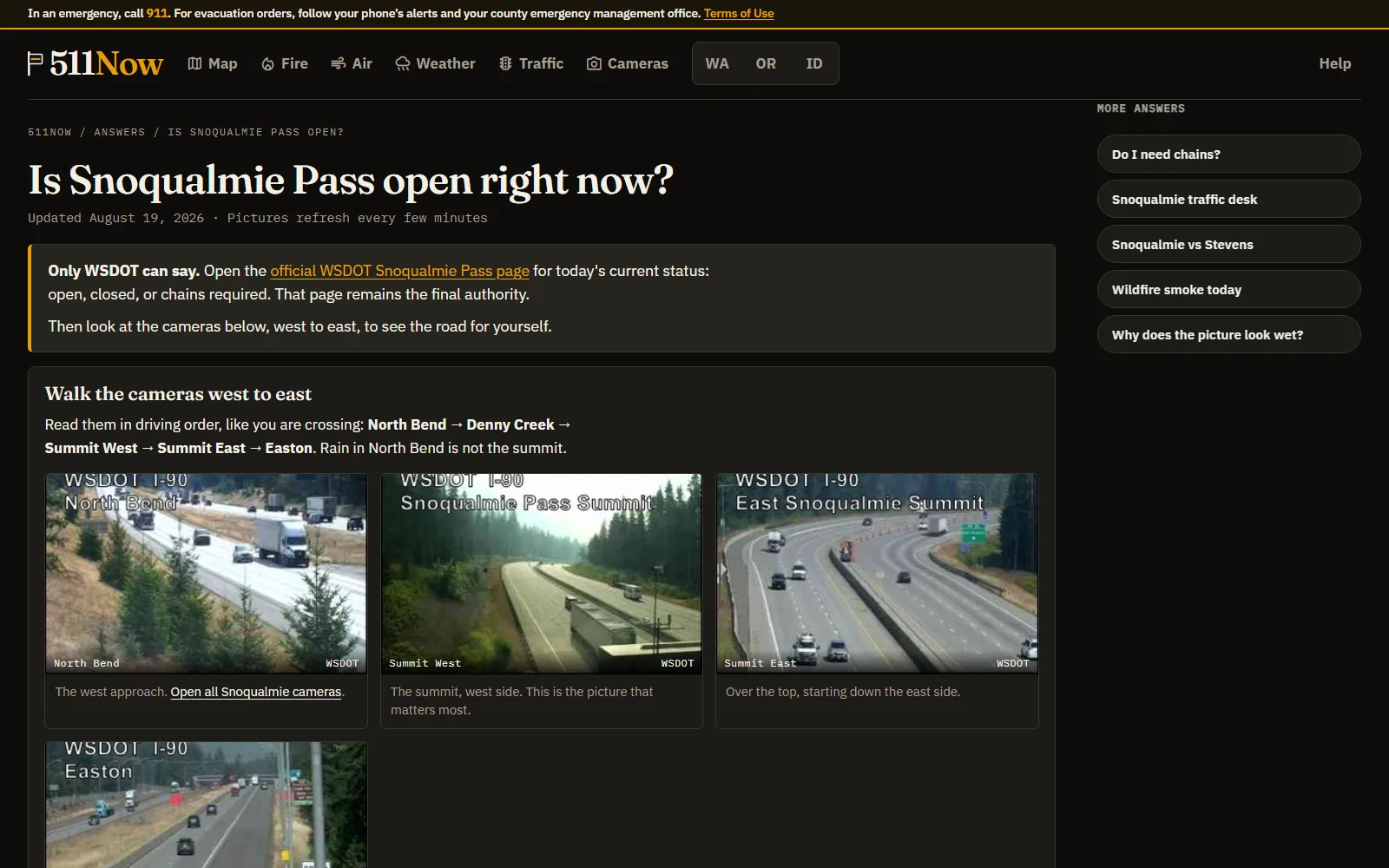
The part that carries my fingerprints is the Answers section: curated pages for the questions people actually ask — “Is Snoqualmie open?”, “Do I need chains?”, “Can you see Mount Rainier today?” — each written as source-first guidance with the relevant cameras walked in driving order.
That’s demand-driven knowledge with named authorities. The same discipline I ran at enterprise scale, pointed at a consumer site.
Where it stands
The core product is live and free. I’m refining the mobile experience, stress-testing the feeds against real conditions, and adjusting to what visitors check first.
What the build demonstrates is the distance AI can close between spotting a real problem and shipping something useful — from four open tabs to a working product in under a day. The judgement stayed mine: the sourcing rules, the authority model and the answer structure are editorial decisions.
More designed & built work
-
USA Archery (proposal & working demo)
USA Archery Platform Modernization
A working modernization of a national governing body's WordPress site — 2,900+ articles migrated to Payload CMS, a rebuilt information architecture, role-based editorial workflow, and a governed AI assistant with citation-backed answers.
-
TerraGreetings
TerraGreetings
A subscription platform for printable outdoor-themed greeting cards — built end to end with auth, payments, an admin CMS, and a browser-side duplex PDF print engine.
-
KnowledgePeak.ai
KnowledgePeak.ai
An AI documentation generator that puts enterprise knowledge practice within reach of small teams — guided questionnaires produce structured articles, with provider-agnostic LLM routing and admin-configurable templates.
Questions about this work?
Happy to go deeper on any of it — the decisions, the trade-offs, or what I'd do differently.